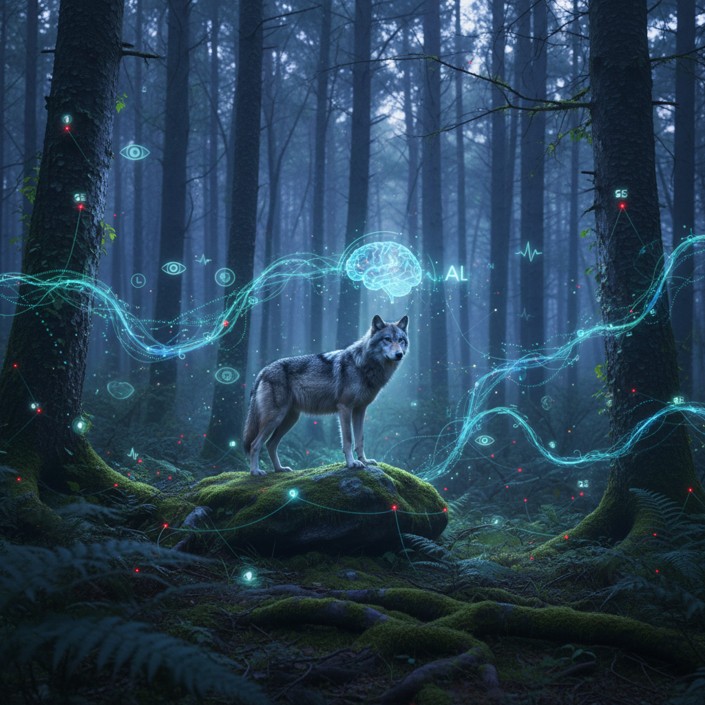
TL;DR Modern wildlife conservation relies heavily on advanced technology. This article explores how GPS and satellite tracking, coupled with sophisticated sensor networks and AI, are providing unprecedented insights into wild canid behavior and ecology. We discuss the technical evolution from basic radio collars to real-time data streaming, the challenges of deploying robust IoT solutions in harsh environments, and the transformative power of machine learning in analyzing complex datasets to inform conservation strategies.
The Silent Sentinels: Tech's Role in Protecting Wild Canids
Wildlife conservation, particularly for wide-ranging and often elusive species like wolves (Canis lupus) and other wild canids, presents unique challenges. Understanding their movement patterns, social structures, hunting behaviors, and interactions with human environments is crucial for effective protection. Historically, these insights were gained through arduous field observations and basic radio telemetry. However, the digital age has ushered in a new era, transforming conservation efforts with sophisticated technological tools that allow us to monitor these magnificent animals with unprecedented detail and scale.
At PolarSoftBD, we recognize the parallels between optimizing software systems and optimizing ecological systems – both require robust data, intelligent analysis, and adaptive strategies. This article explores how our engineering principles find unexpected applications in the wild, enabling a deeper understanding and better protection of natural ecosystems.
From Radio Beeps to Real-time Data Streams: The Evolution of Tracking
The journey of wildlife tracking technology has been remarkable. Early methods relied on VHF (Very High Frequency) radio collars, requiring researchers to manually track animals using antennas and receivers, often in challenging terrain. This provided presence/absence data and broad movement patterns, but lacked precision and continuous coverage.
The GPS Revolution
The advent of GPS (Global Positioning System) collars marked a significant leap. These devices record an animal's precise location at programmed intervals. Initially, data had to be manually downloaded from recaptured animals or retrieved via proximity-based download stations. While a vast improvement, this still limited real-time insights and posed logistical hurdles.
Satellite and Cellular Telemetry
The next evolution integrated satellite or cellular modems into GPS collars. This allows data to be transmitted remotely, often daily or even hourly, directly to researchers' computers. Technologies like Argos, Iridium, and cellular networks (where available) have made it possible to track animals across continents, providing continuous, high-resolution movement data. This real-time visibility is critical for understanding rapid behavioral changes, responding to human-wildlife conflicts, and even monitoring the health of individual animals.
Sensor Networks in the Wilderness: IoT for Ecology
Beyond simple location data, modern conservation efforts are leveraging a broader array of Internet of Things (IoT) devices to create comprehensive sensor networks in remote environments. These networks aim to capture a richer tapestry of ecological information.
Diverse Sensor Types
- Acoustic Sensors: Microphones deployed in strategic locations can record ambient soundscapes. AI algorithms can then distinguish wolf howls, prey animal calls, human activity (e.g., gunshots, vehicle noise), and even identify individual animals by their unique vocalizations.
- Motion and Proximity Sensors: Infrared cameras and motion detectors can capture images or video of animals passing by, providing data on species presence, activity times, and population density without direct human interference.
- Environmental Sensors: Devices measuring temperature, humidity, light levels, and even air quality provide context to animal movements and behaviors, helping researchers understand habitat preferences and responses to environmental changes.
- Biometric Sensors (on collars): Accelerometers and gyroscopes in collars can detect specific behaviors like running, resting, hunting, or feeding by analyzing an animal's posture and movement intensity. Some advanced collars even incorporate heart rate monitors or body temperature sensors.
Data Transmission and Power Challenges
Deploying and maintaining these sensor networks in vast, often inaccessible wilderness areas presents significant engineering challenges. Powering these devices for extended periods without human intervention is paramount. Solutions include solar panels, low-power electronics, and energy harvesting techniques. Data transmission is another hurdle, often relying on mesh networks, satellite uplinks, or long-range low-power wide-area networks (LPWAN) like LoRaWAN, designed for sparse data transmission over long distances.
AI and Machine Learning: Unlocking Behavioral Insights
The sheer volume and complexity of data generated by modern tracking and sensor networks would overwhelm traditional analytical methods. This is where Artificial Intelligence (AI) and Machine Learning (ML) become indispensable.
Pattern Recognition and Behavioral Classification
ML algorithms can process petabytes of GPS coordinates, accelerometer data, and acoustic recordings to identify subtle patterns that are invisible to the human eye. For instance:
- Movement Analysis: Clustering algorithms can identify distinct movement phases (e.g., nomadic travel, denning, hunting patrols) from GPS tracks.
- Behavioral Classification: Supervised learning models, trained on labeled accelerometer data, can accurately classify specific behaviors (e.g., running, walking, sleeping, eating) with high precision.
- Acoustic Identification: Neural networks can be trained to recognize individual wolf howls or distinguish between different species' vocalizations, aiding in population estimates and understanding communication.
Predictive Modeling for Conservation
Beyond classification, AI enables predictive modeling. Researchers can use historical data on wolf movements, prey availability, and human activity to forecast:
- Migration Routes: Predicting seasonal movements to inform land-use planning and mitigate human-wildlife conflict.
- Conflict Hotspots: Identifying areas where wolves are most likely to encounter livestock or human settlements, allowing for proactive mitigation strategies like targeted deterrents or community engagement.
- Disease Spread: Modeling the potential spread of diseases within and between populations based on contact rates and movement patterns.
Edge Computing for Efficiency
To conserve power and bandwidth, some data processing is increasingly being done at the 'edge' – directly on the collar or sensor device. For example, an accelerometer might run a small ML model to classify a behavior and only transmit a summary (e.g., "hunting activity detected") rather than raw, continuous data. This reduces data volume and extends battery life.
Challenges and the Road Ahead
Despite these advancements, challenges remain. Miniaturization of powerful computing components, extending battery life in extreme temperatures, and developing more robust, self-healing sensor networks are ongoing areas of research. The ethical implications of continuous monitoring and potential data misuse also require careful consideration.
Future developments will likely focus on integrating even more diverse data sources – from satellite imagery and drone footage to genetic sampling – into unified AI platforms. Real-time feedback systems, where AI models can trigger alerts or even deploy autonomous deterrents in response to specific animal behaviors, are on the horizon. The goal is to create a 'digital twin' of the wilderness, providing a comprehensive, dynamic understanding of ecosystems.
Conclusion
Technology has transformed wildlife conservation from a labor-intensive, often anecdotal endeavor into a data-driven science. By leveraging advanced tracking, IoT sensor networks, and the power of AI and machine learning, we are gaining unprecedented insights into the lives of wild canids. These tools are not just academic curiosities; they are critical instruments in our ongoing effort to protect biodiversity, mitigate human-wildlife conflict, and ensure a future where technology and nature can coexist and thrive. At PolarSoftBD, we are proud to see how our passion for robust, intelligent systems can contribute to such vital global efforts.